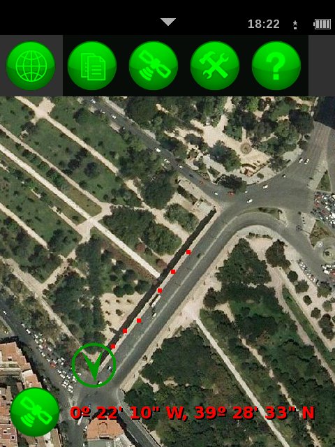
Unofficial gvSIG Mobile for Openmoko v. 0.1.2 has been released today. The main new feature consists in storing waypoints in a local Sqlite database with easily customizable form to set attribute values. Waypoints are then immediately visible on the map. Watch a video and read details here.
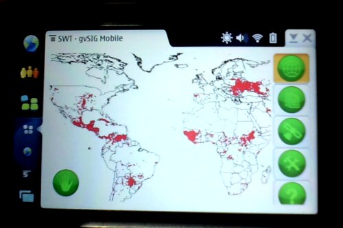
Red points are being stored and immediately painted:
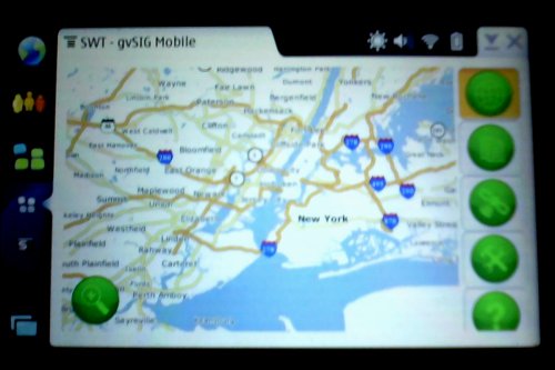
As you can see, the app runs very well also on the Nokia N8X0 (Maemo) devices.
Other new features
- Support for WMS tile servers. Not only the app uses a tile approach for standard WMS servers. Now it also has access to tile servers. The Open Planning Project provides the huge TIGER dataset via WMS using GeoWebCache (tiled service), and here it is:
- Support for EPSG:3003 and EPSG:3004. (Monte Mario Italy zones 1 and 2 projection)
- Internationalization. GUI in English, Spanish, Romanian, Italian and German, thanks to the OA Digital staff.
- And well, lots of additional WMS fun:
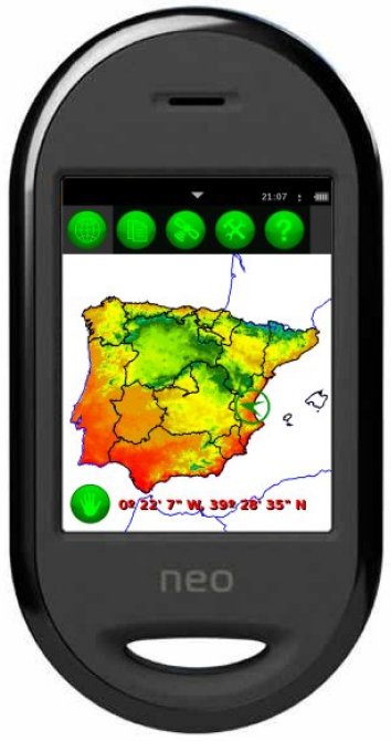
A climate map of Spain & Portugal plus two shapefiles:
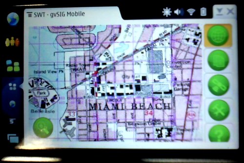
US topographic map:
Fires detected in the last 24 hours:
Resources
As usual, you can get the user manual, installer and free access to the source code from the application blog.

Discussion
Comments are closed.